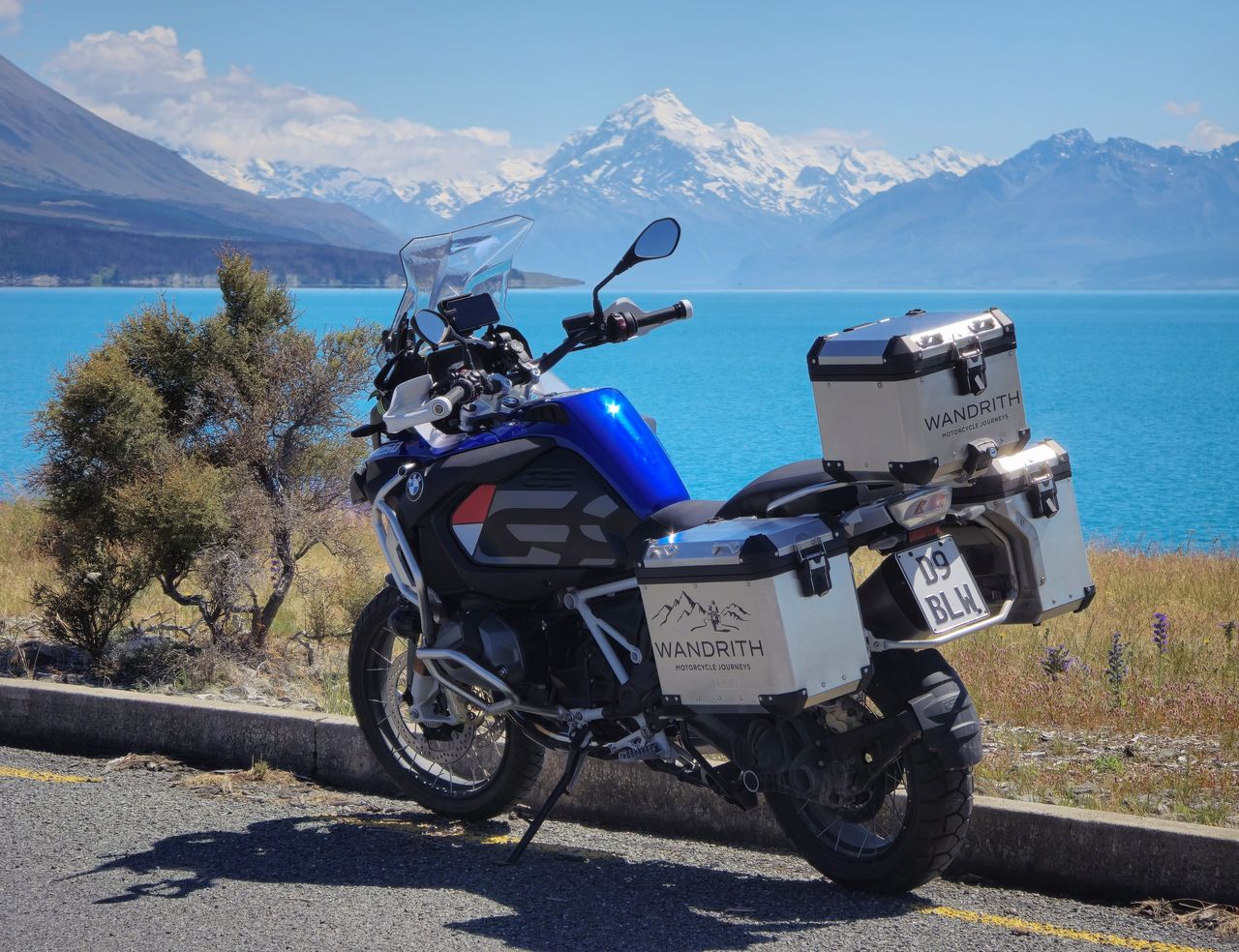
The direct road from Christchurch to Queenstown is about 484 km, about 6 hours 10 minutes by car without stops, south on State Highway 1 and then inland on State Highway 8 over the Lindis Pass; on our self-guided motorcycle tours we take 3 days over it, by Lake Tekapo and Aoraki / Mount Cook. The way back to Christchurch goes by the Haast Pass and the West Coast instead: about 822 km over 4 riding days.
This guide covers the direct road and its time, the two ways our journeys ride it, and what to know on the way: fuel, wind, one-lane bridges, stock on the road and the daylight.
| Way | Main roads | Distance | Riding days on our journeys | On the way |
|---|---|---|---|---|
| The direct road | State Highways 1 and 8, over the Lindis Pass | About 484 km; about 6 hours 10 minutes by car, without stops | Not ridden in one day: our journeys take the inland way | The Canterbury Plains, Lake Tekapo, Lake Pūkaki, Twizel and Ōmarama |
| The inland way | The Lindis Pass; the Crown Range Road on the South Island journey | About 530 km to 536 km, from Mount Hutt | 2 to 3, over 3 days | Lake Tekapo, Aoraki / Mount Cook, Ōmarama, Arrowtown |
| The West Coast way | The Haast Pass and Arthur’s Pass | About 822 km, Queenstown to Christchurch | 4, with 1 to 2 rest days | Wānaka, Fox Glacier, Franz Josef, Hokitika, Punakaiki |
The direct road’s distance and time are newzealand.com’s, for a car driven without stops. Our journeys’ distances are our base routes’, day by day; they start the inland way at Mount Hutt, on the inland edge of the Canterbury Plains, not in Christchurch.
The direct road, and how long it takes
The quickest way runs south from Christchurch on State Highway 1 across the Canterbury Plains, then inland on State Highway 8 over Burkes Pass into the Mackenzie Basin. It passes Lake Tekapo, Lake Pūkaki and Twizel to Ōmarama, crosses the Lindis Pass to Tarras, and runs on by Cromwell to Queenstown. Tourism New Zealand’s newzealand.com gives it as about 484 km and 6 hours 10 minutes by car.
That is driving straight through. New Zealand’s roads wind, and a day takes longer than the map suggests: allow for fuel, food and photographs, roadworks and campervans on the passes. Aoraki / Mount Cook isn’t on the direct road: the village is at the end of a side road up the shore of Lake Pūkaki, a detour of its own.
The inland way: Tekapo, Aoraki / Mount Cook and the Lindis Pass
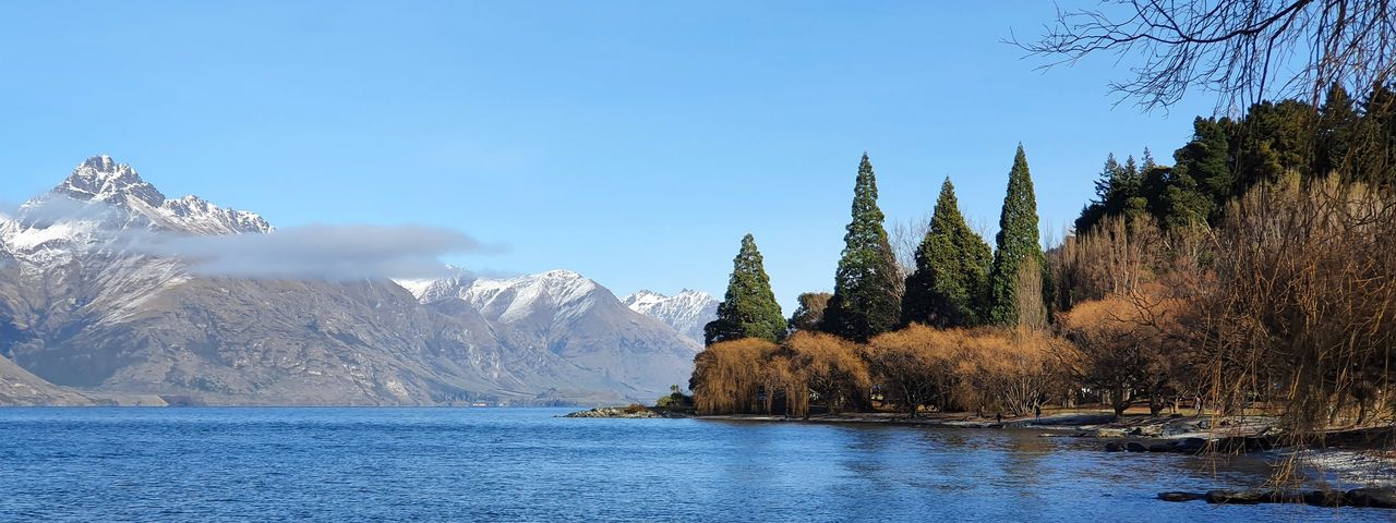
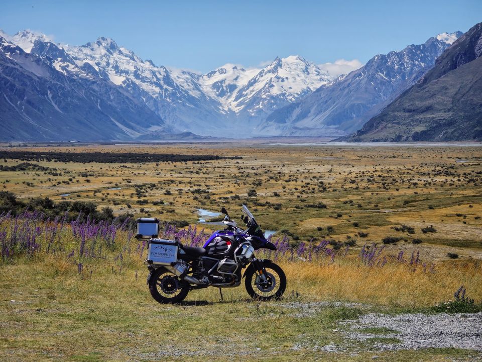
This is how our journeys ride to Queenstown, from Mount Hutt, below the mountains at the edge of the Canterbury Plains. On the South Island journey, Day 6 climbs into the high country to the aquamarine water of Lake Tekapo, with Lake Coleridge, up the braided Rakaia River, as a detour if you want it. Day 7 is a short ride along Lake Pūkaki, with Aoraki / Mount Cook at the head of the lake, and the afternoon is free for the alpine walks, a scenic flight or the Sir Edmund Hillary Alpine Centre.
Day 8 drops through the golden hills of the Mackenzie Basin to Ōmarama for lunch, with the Clay Cliffs nearby as an optional detour, partly on gravel. Then it crosses the Lindis Pass, through the tussock hills of Otago, to the Cardrona Valley. The Cardrona Access Road, a gravel ski-field road, is an optional climb for the view. The Crown Range Road brings you down to Arrowtown, a gold-rush town, and on to Queenstown.

Ultimate NZ and Aotearoa Odyssey ride from Mount Hutt to Lake Tekapo and Aoraki / Mount Cook in one day, and spend a free day at Aoraki / Mount Cook. They leave the mountains by way of Ōmarama, cross the Lindis Pass and the golden hills of Otago, and come to Queenstown by Cromwell.
From Christchurch itself, the South Island journey goes the long way round: north first, by Kaikōura, Nelson and the Lewis Pass, reaching Queenstown on Day 8, about 1,642 km later.
The West Coast way: the Haast Pass, the glaciers and Arthur’s Pass
All three journeys come back to Christchurch this way, so on our routes it runs north from Queenstown. On the South Island journey, Day 10 is an easy ride through the orchards of Cromwell and along Lake Dunstan to Wānaka. Day 11 crosses the Haast Pass through Mount Aspiring National Park to Haast, on the West Coast, then runs north past Fox Glacier to Franz Josef, where the ice comes down to the rainforest.

Day 12 follows the coast north through Hokitika, known for its greenstone carving, to Greymouth for two nights, with a rest day for the Pancake Rocks at Punakaiki. On the last day the road climbs the Otira Gorge to Arthur’s Pass, through the Southern Alps, and drops to the Canterbury Plains and Christchurch: about 822 km from Queenstown.
The Lewis Pass is the other road over the Alps, further north. Our journeys ride it towards Mount Lyford, earlier on, not on the way to or from Queenstown. Each route is our starting point: we shape it around what you’d like to see and where there’s room to stay. If you would rather ride the West Coast on the way south, tell us.
What to know on the way
- Fuel. The Wandrith Journey App suggests fuel stops on each day’s route, before the remote stretches too. The Haast Pass road is 140 km of State Highway 6 between Wānaka and Haast; the Department of Conservation notes only limited food and petrol at Makarora, with more services in Wānaka and Haast.
- Wind. The Mackenzie Basin and the Lindis Pass are open, high country, and the wind across them can be strong and gusty. Leave room when you pass a campervan.
- One-lane bridges. Common on the West Coast especially. Signs on the approach show which direction gives way: the big arrow has the right of way, and if you’re unsure, let the other vehicle go first.
- Stock on the road. Sheep, cows and deer can be on rural roads, especially at dawn and dusk. Slow down and be ready to stop.
- Daylight. In midsummer the sun sets around 9.10 pm in Christchurch and 9.35 pm in Queenstown. When to ride gives the daylight month by month.
- Weather. The passes are high: on 25 June 2026 NZTA closed State Highway 8 between Ōmarama and Tarras, over the Lindis Pass, for snow. Our South Island journeys don’t run in winter, when there is ice on the roads, but sun, wind and rain can all come in a single day in any month, and heavy rain can close an alpine pass for a day or more. If the weather stops you reaching the night’s stay, contact us straight away, and we’ll do our best to make other arrangements.
- Surfaces. The routes are almost all sealed, with a few short stretches of gravel, such as the side trip to the Clay Cliffs near Ōmarama. The roads guide gives more examples.

The journeys that ride it
| Journey | Inland, to Queenstown | West Coast, to Christchurch |
|---|---|---|
| South Island | Days 6–8: about 536 km | Days 10–14: about 822 km, with a rest day at Greymouth |
| Ultimate NZ | Days 13–15: about 530 km, with a rest day at Aoraki / Mount Cook | Days 17–21: about 822 km, with a rest day at Greymouth |
| Aotearoa Odyssey | Days 16–18: about 530 km, with a rest day at Aoraki / Mount Cook | Days 23–28: about 822 km, with a rest day at Wānaka and Greymouth |
The South Island journey starts and ends in Christchurch; Ultimate NZ and Aotearoa Odyssey start in Auckland and end in Christchurch. If you need to start or finish somewhere else, Queenstown for instance, tell us what you need, and we’ll see whether we can plan the journey around it.
- South Island: 14 days, from Christchurch and back, about 2,591 km. Up to NZ$26,999 per bike, including GST.
- Ultimate NZ: 21 days, Auckland to Christchurch, about 4,041 km. Up to NZ$35,999 per bike, including GST.
- Aotearoa Odyssey: 28 days, Auckland to Christchurch, about 5,377 km. Up to NZ$47,999 per bike, including GST.